See the neighborhoods & landmarks of Blendini City!
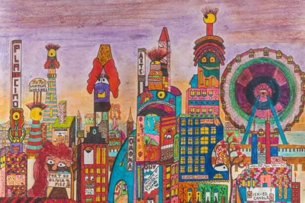
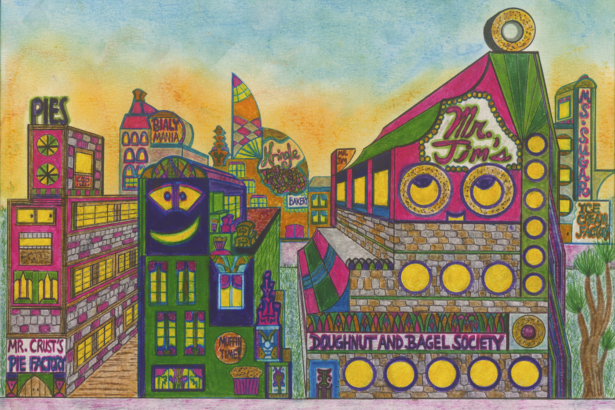
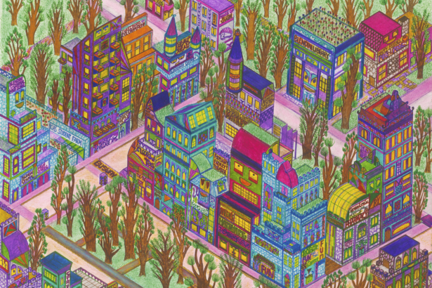
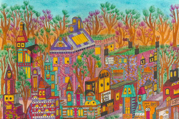
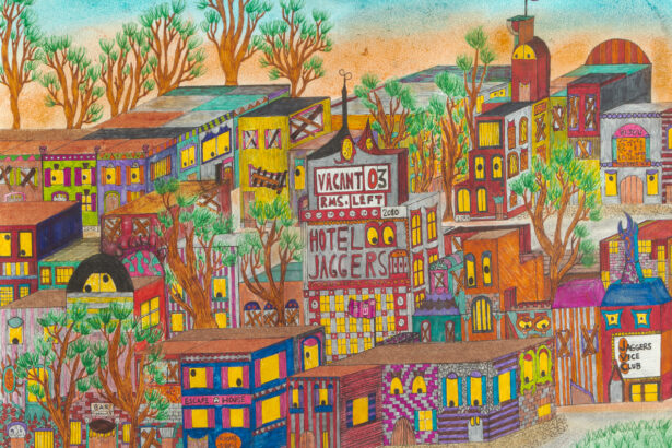
Blendini City Neighborhoods


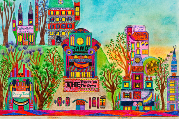

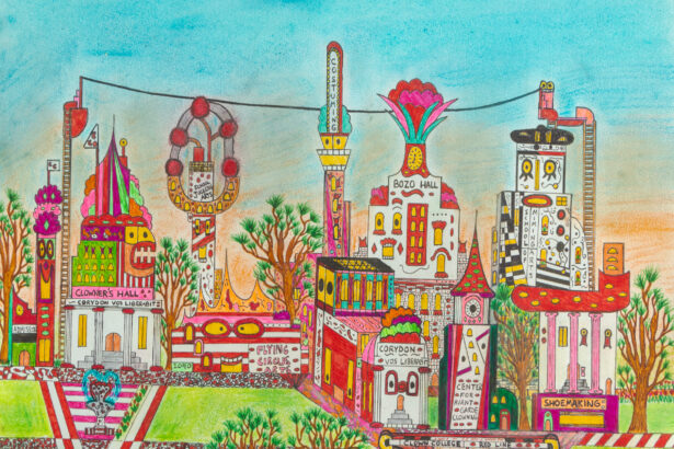

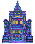
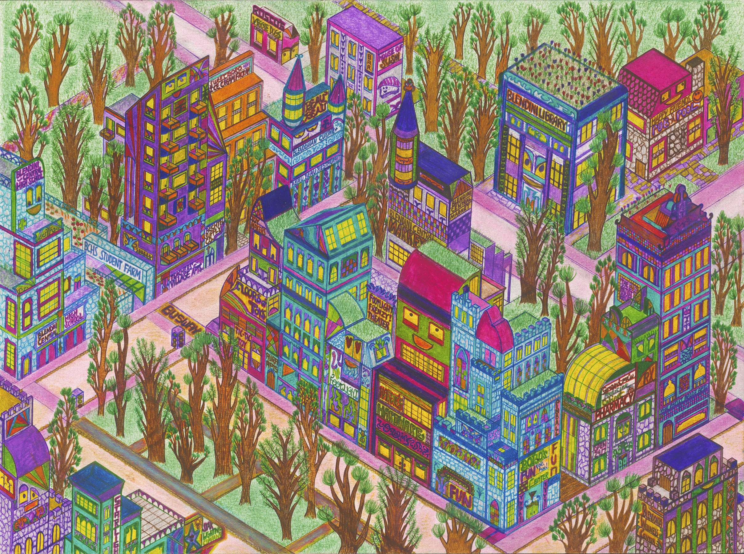
Blendini City Landmarks

Blendini City Metro Rail Network
This transit map was last updated in the year 2135 to inaugurate the building of the Velvet Line (Line 6). Currently in 2150, there are several proposals on how to expand the rail network, but the buses, trolleybuses, and private transport have filled in a lot of the gaps. That being said, the Blendini Metro Rail Network has expanded a lot since its early days. Running on automated trains, the lines serve a variety of different neighborhoods.
The system’s design shows that Blendini City’s primary activities don’t all take place in the central city. It’s easy to get to many different parts of the city no matter where you are because there are several “commercial centers” around Blendini City.
The system itself uses simplicity when necessary (too big stations greatly add costs to transit projects) and the funding comes from diverse sources. This map also will serve as a helpful guide as you explore the neighborhoods and landmarks below. Each neighborhood and landmark bio is served by at least one Metro Rail Station.
One expansion debate is creating a line that would cut through the Central Woodlands (which is in the center of the city). This would have some benefits, but also some unintended consequences on the city’s natural ecosystem.
Read updates about Blendini City & other urban topics on the Mayor’s Blog!